We are setting up a new forest dynamics plot in the Rocky Mountains this week, focused on understanding interactions and climate change responses among clones of quaking aspen (Populus tremuloides). The site will ultimately join the Global Ecosystems Monitoring network and contribute unique data from a low-diversity temperate forest in the coming years.
Choosing a good site requires finding a representative one-hectare section of forest that contains several aspen clones, that is not on private land, that is near enough to a field station for the logistics to be feasible, and in a safe place to work. I was able to put together a short-list of possible locations using satellite images, but remotely sensed data is only ever a guess at the reality on the ground. So this week we were off to scout out a few sites.
Some, like this one, looked good on the map but turned out to be too small in practice, with plot boundaries forced out into non-forested regions.
Others were the right size, but the wrong topography. This one was on a very steep slope that didn’t seem safe to send students out to, and that would probably erode severely as field crews repeatedly visited it.
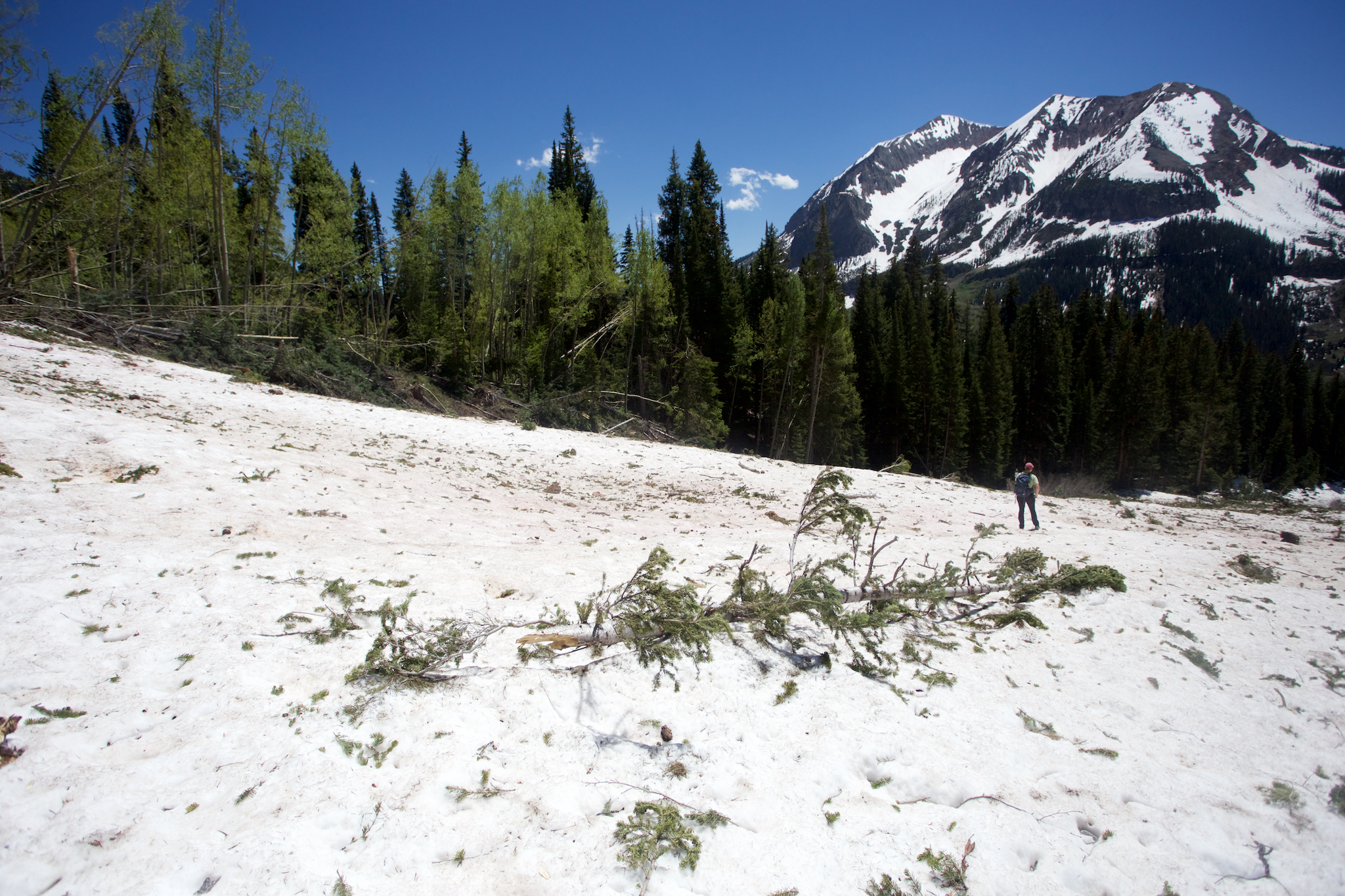
Others were at the base of slopes that looked good on the satellite images, but turned out to have changed since the image was obtained. This one was unfortunately destroyed by a large avalanche coming off the slope above, snapping most of the trees at their base and leaving meters of snow above the ground – too dynamic of a location to commit to a long-term research site.
Others were too rocky, posing severe logistical challenges for surveying and sampling, though I was impressed the ability of trees to grow through the steep talus.
Finally, I found somewhere that looked just right – a large and heterogeneous forest patch on a shallower slope in no risk of avalanches, and surprisingly in a location with cell service too! With a great team of summer students, we surveyed the plot corners this week and will be coming back soon to begin tagging the trees.


