The lab has been delving into remote sensing as a way to deepen understandings of plant community dynamics. Things look different from the air than they do from the ground, and drones can cover far more ground in a day than an ecologist with a ruler. This is the second year we are now monitoring our alpine demography site by UAV, piloting some approaches for automatically censusing plant populations. Rocky Mountain Biological Laboratory biologist Dr. Ian Breckheimer has been collaborating on the project with us, and doing all the flying.

Graduate student Courtenay and I woke up early to get datasheets and materials prepared…

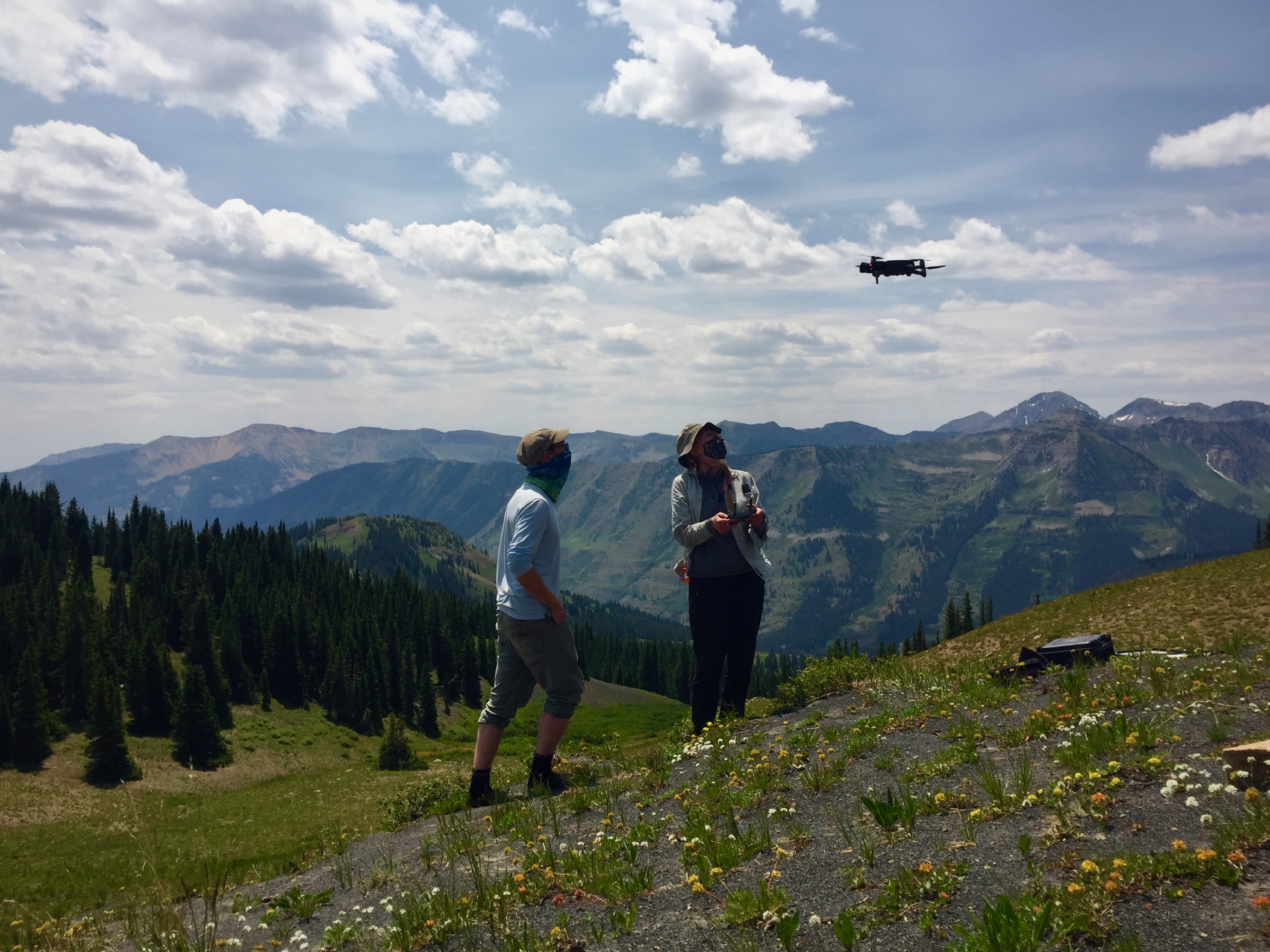
…and a few hours of hiking later were up at the site to get the ground control points set out. Ian then taught Courtenay some of the basics of UAV operation…

…and then we were airborne!
We did a set of high-resolution flights a few meters off the ground, as well as a set of low-resolution flights from much higher up. This year’s data are still being processed, but here is a view of what last year looked like at high resolution. Hopefully we will see some interesting changes between the years – likely a strong drought mortality response.

Thanks to Ian for hauling all the gear and batteries up the mountain to fly for us!